Technical issues with the front control board (“eyebrow”) of our campervan “Serenity” had prevented us going on a July / August trip and while we were pretty annoyed with that, in hindsight it was the right choice. We had a 3 month heatwave with temperatures 28-30C every day, mosquitoes the size of small cats and just brutal humidity. We could have gone West to – say – Idaho but neither of us really had the motivation to spend days and days in the van just to “get there”. So, we staid home until the weather cooled a little, labor day arrived and forced children and parents back into their suburbs.
So, we planned a short 4-night trip to West Virginia and Virginia, in part following routes that we had previously scouted. The idea was to explore left and right on the way, keep the miles low and allow for sidetrips and stops to check out interesting things. We checked out the camping spots online but did not really research hikes and attractions. We sort of thought we could do this on the road – that was a mistake as there was hardly any internet or cell phone connectivity.
Wednesday 09/10/2020. Left the house at ~ 11:00 and heading (via McDonalds!) to Savage River State Park in Maryland. We had been there twice already and its a great space to camp, by a decent-size creek with lots of firewood nearby. We have rarely seen anyone there, its a $10 fee and basically its about as isolated in a fairly steep valley as it gets. We scoped around and instead of camping in the “Big Run” valley, we headed out to the Elk Lick run – for no good reason other than that we had not been there before. It turned out to be just the same, maybe a little more traffic on the road (the road leads directly into New Germany State Park). The camp was nice, the dog could
  run free and explore a little but being in the steep valley means that the sun drops quickly and rises late, i.e. its dark. Really dark. There also isn’t a real hiking trail anywhere. I think the entire park is designed as a convenient camp site for fishermen using the adjacent Savage River Reservoir – which really looks amazing. We should bring a canoe next time and explore that a little.
Camp at 39.60424, -79.09118
Thursday 9/11/2020
Pretty dark morning but good weather, headed out without starting another fire. Checked out a few more possible campsites on Savage River Road between Elk Lick and Big Run. More overflow but they should work. Headed generally s outh, passed Dolly Sods and headed to Seneca Rocks. A really nice picnic site right by the trailhead, parked Serenity and headed up the obvious trail. The trail has some ascent but rewarded with an awesome view from the lookout. The trail seemed to continue but tons of signs warn against it and especially with dog / leash, we didn’t feel like exploring beyond the marked trail.

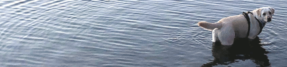
Headed back, dropped the dog into the creek to cool down and got back into the van. Quick stop for ice cream at the local tourist trap where the most displayed items were confederate flags carefully venerated by sneezing women who proclaim that Corona Virus is an invention from “The Libs”. I am sure they sell white robes and hemp ropes as well but we didn’t stick around too long.
Btw, these mountain routes take their toll on our already pathetic gas mileage. We were filling up every time we hit 3/4 tank, Serenity makes about 12miles/gallon out there which is still slightly less than a battle tank but please don’t anyone tell Greta Thunberg. Headed out toward the campsite Island Camp Ground with some navigation challenges. Basically, there is no cell phone or data connectivity anywhere and navigation is entirely by map – we use Gaia which works reasonably well but it is a transition from following a prepared route to navigating 1980’s style.
Island Campground was my favorite campsite of the trip – despite being neither spectacular nor having real hikes nearby. Its a small place, clearly designed for hunters to just camp out for the night but nobody was there when we set up at the farthest spot. It has a solid creek (“East Fork Greenbrier River”) right behind it with tons of opportunity for the dog to fish for gnats and me to collect firewood. The road is quite close but there was little traffic at night. Great place.
Camp at 38.57842, -79.70436
Friday 9/12/2020
Headed out toward the next place with few ideas where to hike and what to do. Found a friendly USFS guy at a “closed” office in Marliton who recommended the “High Rocks Trail”, a short (3 miles) in/out relatively flat hike along the “Highland Scenic Hwy”. Really nice place, great for lunch breaks and amazing views.

Yeah, that trail was really nice.
From there headed back out on 39 toward the next campsite – Blowing Springs Campground in Washington & Jefferson Forest. The campground has 2 “tiers” with the lower one having far bigger spaces but is overgrown with grass and has tons of bugs. The upper tier has fairly small pads but there was only one other group and we squeezed the van into a flat area and took off for a hike along the local river. The trail is flat, basically a road and the scenery was more like Colorado than Virginia. It was absolutely gorgeous. We took a swim in the creek with the dog, paddled along a wee waterfall for some time and basically enjoyed being in the water. It was awesome. I wish I had a working drone, that was the perfect place for some areal shots.

Camp: 38.069263, -79.883455
Saturday 9/13/2020
Headed out relatively late, dog and I explored the campsite for a while, went back to the creek and tried to find the “Blowing Springs”. Gaia suggests its at the entrance of the park on the other side of 39 and yes, there are springs coming out of an old concrete wall with some cemented pipes that could indeed blow air – didn’t really see anything though.
Left toward the Shenandoah ridge again with rain coming down for the first time this trip. Quite a bit of rain, actually. We headed into the park itself and had a long lunch break to see if the rain would clear but when it didn’t, do g and I took a quick local walk, Dear Den peak or something. Drenched and miserable, quite a steep climb, the dog hated it and definitely thought there were bears, barking, neck hair raised, all of that. Interestingly, the local ham radio club had set up a repeater up there with a water station. When we came e back down, fired up the HT and chatted with the guy who actually manages that repeater. Great guy.
Headed to the last campsite of the trip, a local winery in Virginia called Five Oaks Vineyard. Small operation but they allow camping there via the Harvest Host membership. We parked the van at an absolutely stunning position overlooking the entire valley and up into the Blue Ridge Mountains. Amazing location – loved it. Slept with the back of the van open, no bugs, weird owls but otherwise quiet and just perfect last night.

Camp : 38.139308, -78.319041
Sunday 9/14/2020
Alright, lets go home! Took of relatively early since the weather was gorgeous and we (ok: me) wanted to get a nice hike in before we get on the highway. We decided to drive back into the Shenandoah Natl.Park – by now we can gauge how long it will take us to get home which makes planning much easier.
The weather was awesome, could not have been better. Some eerie fog blew off with t he sun and then all that was left was a perfect walking day. We had lots of recommendations but chose a circular hike starting at “Fisher’s Gap Overlook”, 4 1/2 miles of pretty steep up/down. Quite a busy hike – I mean its Sunday, gorgeous weather and we are in a National Park and the dog really resented to be on-leash all the time and was completely wiped out by the end.

And that was it, heading back home via known routes. Lots and lots of traffic as usual, maybe coming back on Sunday isn’t such a great idea. But it was a great trip.

